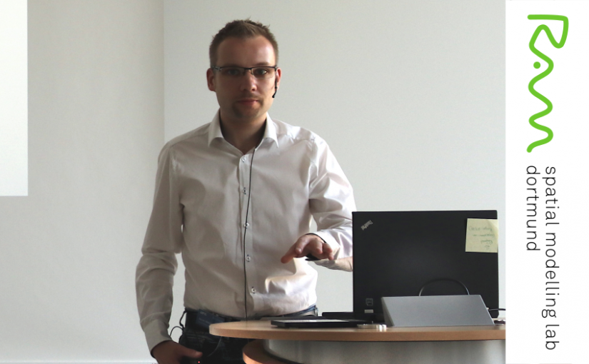
I am a geoinformation scientist and work at the Department of Spatial Planning (TU Dortmund University), where I am head of the Spatial Modelling Lab (RAM). In addition, I am affiliated with the GIScience research group at Heidelberg University. My research deals with spatial and platial analysis methods. I teach spatial analysis and GIS courses at graduate and undergraduate level. My background is geoinformatics with a Ph.D. from Heidelberg University and a Master’s degree obtained at the Department of Mathematics and Computer Science at Osnabrück University.
I have worked on the spatial analysis of geosocial media data in the past. My current methodological research continues this work and deals with the estimation of spatial autocorrelation based on user-generated content. I also explore how we can shift the focus of quantitative analysis from space to place—the latter being the relevant unit used by people to experience the world. Some of this work has been part of a DFG priority programme for the spatio-temporal analysis of volunteered geographic information, and is continued in my current professorship.
In addition to my enthusiasm for space and place, my practical experience includes several years of interdisciplinary activities in software development in nature conservation and agricultural projects, along with several smaller, independent software projects with external partners. I am working group leader at the German Society for Photogrammetry, Remote Sensing, and Geoinformation (DGPF), member of the Association for Geoinformatics, GeoIT and Navigation, and a Fellow of the Royal Geographical Society in London.
